You can access the distribution details by navigating to My Print Books(POD) > Distribution
Description
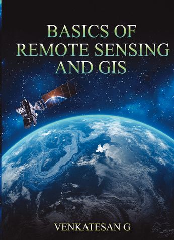
Are you interested in learning the fundamentals of remote sensing and GIS? Do you want to gain a deeper understanding of how these technologies can be used to analyze and visualize spatial data? If so, this book is for you.
In "Basics of Remote Sensing and GIS," author [Dr. VENKATSAN G] provides a comprehensive introduction to these cutting-edge technologies. Through clear explanations and hands-on exercises, you'll learn how to collect, process, and interpret remotely sensed data, as well as how to create maps and perform spatial analysis using GIS software.
Whether you're a student, researcher, or professional in fields such as environmental science, urban planning, or natural resource management, this book will give you the foundational knowledge and skills you need to use remote sensing and GIS in your work.
About the Author
Book Details
Ratings & Reviews

Currently there are no reviews available for this book.
Be the first one to write a review for the book BASICS OF REMOTE SENSING AND GIS.
Other Books in Engineering
Ashok Kumar, Kuldeep Sharma, Vineet Yadav, Dipak Kumar ...
Prof. Anilkumar Hulsure, Prof. Archana Jadhav, Prof. Shivaji ...
P.S.V College of Engineering and Technology
C Prabhakar


